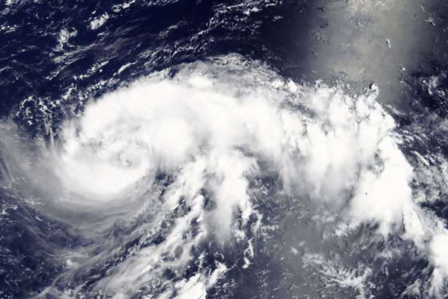
Outlying Japanese islands were pelted by intense rain on Friday as a powerful typhoon bore down, threatening the main islands with heavy rain at the weekend and putting areas already ravaged by deadly floods at risk again.
Typhoon Jongdari - meaning “skylark” in Korean - will strengthen to a category 4 typhoon as it moves northwest but will be off peak strength as it draws closest to Japan’s largest main island of Honshu late on Saturday or early on Sunday, reports Reuters.
While the heaviest rains are likely to hit the region around Tokyo, with 300 to 500 mm (12 to 20 inches) possible in the 24 hours to Sunday morning, the storm could also pass right over the western region lashed by floods earlier this month, resulting in the loss of at least 219 lives.
“There’s not much we can do, it’s a natural phenomenon,” a man in a flood-hit area of Okayama prefecture who was cleaning his damaged home told NTV. “I really do wish it wasn’t heading here, though.”
Heavy rains and winds were already lashing the Ogasawara islands, about 1,000 km (621 miles) south of Tokyo, by Friday afternoon as the storm - bracketed by two high pressure areas - churned towards Japan on an unusual northwest course
A raft of summer festivals were cancelled or postponed in the Tokyo area, including the famed Sumidagawa river fireworks festival scheduled for Saturday night.
July has seen Japan hit by one weather disaster after another, including a record-breaking heatwave that saw temperatures surge to 41.1° Celsius (106° Fahrenheit) near Tokyo on Monday and has killed at least 80 people, with over 20,000 taken to hospital for treatment.


