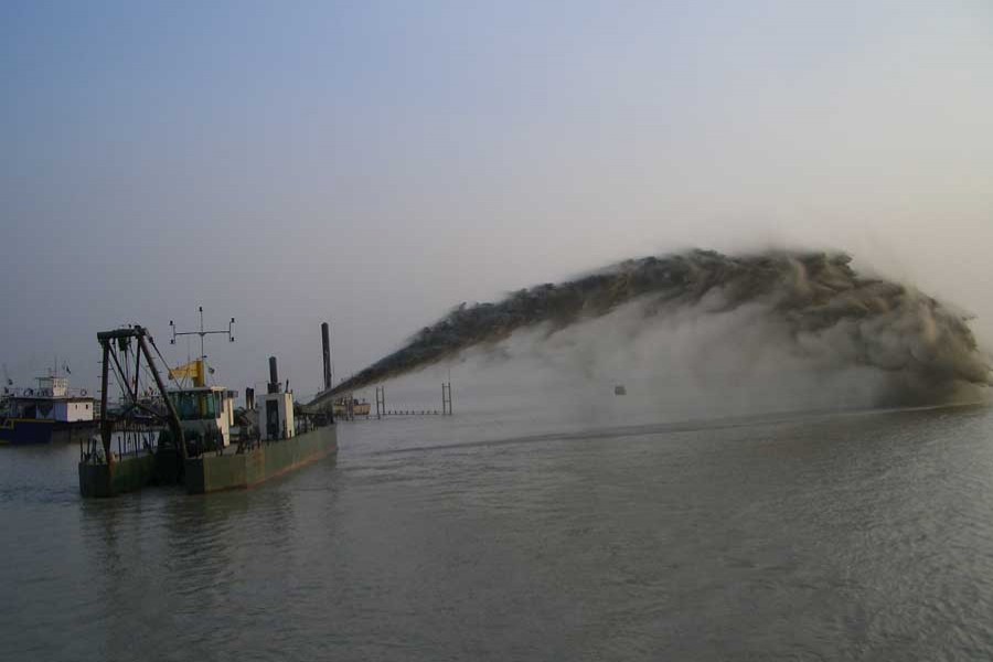
It's a good piece of news that the government is planning to bring the dredging work of the inland waterways under a real-time monitoring network. The Ministry of Shipping is expected to initiate a web-based project for the purpose.
According to a recent report, the ministry is hoping to develop software by this year for monitoring the activities of the public and private dredgers working under various schemes.
Against the backdrop of the government's move to undertake multiple mega dredging schemes for tackling a declining trend in the navigability of the waterways, the proposed monitoring of the activities of the dredgers is seen by many as a welcome move.
Recently, a shipping ministry undertook a project to dredge seven rivers at a cost of Tk 39.64 billion. The objectives of the project is to improve the navigability of the Burishwar river for the Payra sea port and revive six moribund rivers. It is expected to get official approval soon. Due to the dynamic characteristics of the country's rivers, things like channel development, abandonment and course shifting are very common in Bangladesh. Once the total length of the country's waterway was 24,000 kilometres (km), yet it has come down to only 6,000km in monsoon and 3,600 km during lean period now.
Lack of maintenance, reduction in upstream flow as well as human interventions are being blamed for such a decline in navigable waterways. The government had earlier taken a number of initiatives to carry out capital dredging in light of the need for smooth and improved navigability. But most of the dredging works did fail to bring tangible results.
The quantity of capital and maintenance dredging has been increasing rapidly as the demand for enhancing navigability is rising with the passage of time. Yet it is getting tough for the government and private agencies to closely monitor all dredging activities. Getting correct information in time is also not always possible.
Once the real-time monitoring system is in place, it will be possible to monitor such activities through a web-based system. As per estimates, the cost of developing the software as well as warranty, maintenance and training has been estimated at Tk 5.8 million. The cost of installation and configuration of the software at each site will be around Tk 0.2 million.
The system is expected to provide real-time dredging information like dredger name, dredging length, velocity, riverbed type and water level. At the same time, it will enable visualisation of real-time dredging location on web-mapping service like Google Maps. It will also show cumulative dredging volume in table and graph. The users will be able to view information on the last three to five years of a particular waterway.
It will also be possible to view live video of dredging activities and monitor the siltation rate. Other government agencies like water resources ministry, authorities of Chattogram, Mongla or Payra ports, Bangladesh Water Development Board (BWDB) and Local Government Engineering Department (LGED) will also be able to use it.
However, the software will help justify the cause of such constant shifting of navigation routes. Its application will run automatically and periodically with a 30-minute interval and upload dredging-related information to the central server from where the web-based application will extract information.
Negative sides of the dredging is that it might affect a river's composition, diversity and resiliency in a variety of ways, according to environment analysts. After a river is dredged, its banks become prone to erosion. Eroded banks stimulate further build-up of silt, exacerbating rather than improving problems with navigation.
River dredging can have a number of impacts on local fish populations. Many fish species depend on structured habitats for refuge from the current. The loss of natural habitat can render newly dredged habitats unsuitable for shallow-water fish. Furthermore, deeper habitats may make a river more vulnerable to exploitation by invasive non-native species.
Currently, many public agencies and private companies have dredgers which are old and do not support any automated system to extract dredging information. For such dredgers, a data entry form is expected to be developed to capture detailed information relating to dredging activities.
It is believed that the web-based real-time monitoring would help increase transparency of dredging schemes alongside aiding better coordination and information sharing among ministries.


