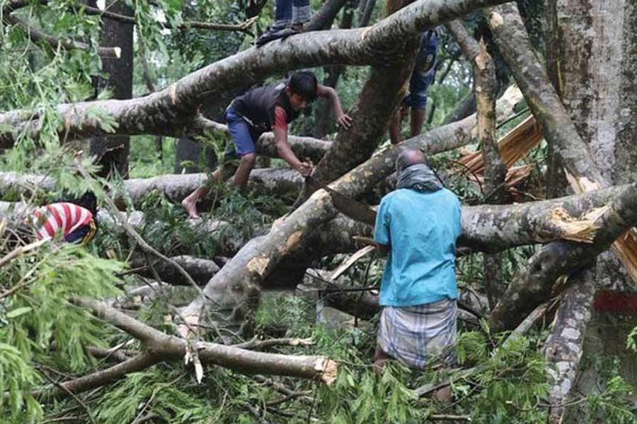
The Sundarbans (meaning 'beautiful forest' in Bengali) is the biggest contiguous mangrove ecosystem in the world comprising 6200km² of forest and riverine areas and 108 swampy, low-lying islands. Roughly, 60 per cent of the Sundarbans is in Bangladesh, located on the northern limits of the Bay of Bengal and the old Ganges delta. The region's low elevation from the sea level and proximity to the coast make it particularly vulnerable to cyclonic storms and other natural disasters. The forest best was severely affected when Cyclone Sidr struck in November 2007, Aila in May 2009, and lastly Bulbul in November 2019. Sundarbans, has been listed as a World Heritage Site and is the most important ecosystem and protective natural barrier against the calamities like tidal surges, cyclones etc.
The Sundarbans houses one of the richest natural gene pools for flora and fauna in the world. The flora contains at least 69 species, with the Sundari (Heritiera Fomes) which gives the forest its name and the Gewa (Excoecaria Agallocha) that provides timber for paper and wood products. A total of 425 species of wildlife have been identified in the Sundarbans, including 42 species of mammals, 300 species of birds, 35 reptiles, and 8 amphibian species (Blower 1985; Rashid and Scott 1989).
The Bangladesh Sundarbans Reserve Forest (SRF) also offers subsistence livelihood for about 3.5 million inhabitants within and around the forest boundary. The forest consists of numerous creeks and rivulets which play a crucial role in bringing a balance between saline and fresh water.
Recent decades have seen two major infrastructural developments -- one local and the other in neighbouring India -- that have caused a major change in the dynamics of the ecosystem, and consequently local livelihood patterns. The first was intended as an adaptation to coastal flooding; a series of coastal embankments that were built by the government in the late 1960s. The flow regulators in these embankments were either not built according to design and/or not properly maintained thereafter, which over time led to drainage congestion and water logging since the early 1980s. The second development was the opening of the Farakka barrage upstream in the Indian state of West Bengal in 1974 that diverted water and reduced dry season flows and led to significantly enhanced salinity levels in the dry season.
The inundation and salinity changes interrupted the traditional livelihood practices. However, at the same time they offer an ideal opportunity for shrimp farming which exploded as a massive export oriented industry in the mid-1980s, significantly boosting local people's income. But shrimp farming encouraged farmers to artificially inundate lands with brackish water during periods of low salinity, causing severe damage to the forest cover. The depletion of forests in water logged shrimp areas also increased pressure on other parts of the Sundarbans for fuel wood and timber, hastening the rate of forest depletion. The thin wire mesh that is used for shrimp collection is also resulting in the capture of larvae of other species, which are then discarded, thus causing the depletion of the stock of other fish species. Meanwhile, high dry season salinity levels, in part the result of water diversion upstream in India, have also adversely impacted agriculture production, besides increasing the environmental stress on the forest cover. The south-western region of Bangladesh, including the Sundarbans forest areas have already witnessed how surface salinity penetrate with decreasing flow condition in the lower Ganges distributary systems. SRDI (1997) reports indicate that following the drastic diversion of surface flow in the Ganges in 1975, there has been a gradual rise in salinity in the entire Ganges Dependent Area (GDA).
While the above are known threats to conservation of the Sundarbans, natural disasters like severe cyclonic storms, as mentioned, remain a cause of recurrent threat for the forest belt. The government needs to conduct a detailed survey on the coastal areas of the country, particularly the Sundarbans, to ascertain by GIS (Geographical Information System) probable sites of inundation due to sea level rise. Elevated areas may be developed above the expected sea level to provide food and shelter and other environmental requirements to animals. A national committee/task force should be formed with relevant national experts and researchers to prepare programme of work on a priority basis. National and international conservation organisations should join hands to mitigate the climate change impact on the Sundarbans as well as to stop setting up of industrial establishments around the forest area.
Dr Muhammad Abdul Mazid is a former Secretary to the Government of Bangladesh and a former Chairman of NBR.
