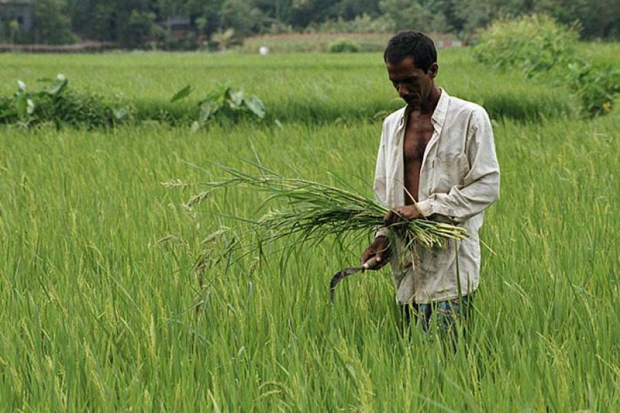
A master plan to take stock of the country's arable lands and suggest measures to protect them was supposed to be in place by now, following instructions from the Prime Minister quite sometime ago. We are not aware how far the work has progressed -- given of course the arduous and time-consuming nature of the job. Preparing a master plan to protect cultivable land in all the upazilas of the country coincided with the US Environmental Performance Index (EPI) report that found Bangladesh topping the list of countries which are fast losing arable lands.
The job assigned to the Ministry of Local Government, Rural Development (LGRD) involved sketching out the plan placing all upazilas under a specific development design aimed at protecting crop lands and preventing unplanned construction of buildings, roads and other structures. Besides, the master plan was to have a complete layout for housing, hospitals, markets, schools, colleges, playgrounds, agricultural farms, industries and other facilities.
While planned development of upazilas is the broad objective of the master plan, the idea of protecting crop lands from housing, mills, factories and other structures appears to have drawn attention of the conscious citizens.
In a land-scarce country like Bangladesh, losing arable land is one of the common worries that frequently gets in the way of achieving many development objectives. There is an element of confusion as to the pace at which arable lands are getting lost. Conflicting, at times exaggerated, estimates make it difficult to be informed about some of the basics -- actual lands under cultivation, those under industrial use and human habitation and so on. While losing arable land is a reality one has to live with, the important aspect is the availability of credible data in order to facilitate the planners to plan and address a multitude of issues, not all of which are necessarily related to food production. However, authentic information is crucial for the simple reason that food security hinges on the availability of land under cultivation.
Studies conducted in the past revealed that the country was losing around 1.0 per cent of its agricultural land annually. According to an agricultural census conducted in 1983-84, the country's total agricultural land was estimated at 9.2 million hectares. A subsequent study done in 1996 showed a considerable decrease in farm lands amounting to 8.2 million hectares. This shows the annual loss at 1.0 per cent. But findings of a study conducted a few years ago by the country's lead NGO BRAC revealed a somewhat relieving picture. The study said decrease of cultivable land was to the tune of an annual rate of 0.3 per cent instead of what many considered alarming, counting on 1.0 per cent annual loss.
However, one important issue that needs to be worked out is a database of the size of agricultural lands in order that planning at the macro level is rendered easier. Besides, there is also the need for accurate data about the reclaimed lands that the government has been announcing for some time but not providing precise information as to their size.
There is an apparent note of complacency in recent times due to bumper harvests of paddy, but the matter of food security, anticipated as a result of increased production of the staple food, does not seem to hold ground as decrease in farm lands is accompanied with a considerable reduction in the number of rural population engaged in agro profession.
Now, while credible data are important, equally important to know are the reasons for the losses. The reasons are not many, but how these impact the loss and what measures needed to check are matters that require urgent attention from the concerned quarters. Offsetting the losses as much as possible, through adoption of a combination of policies and actions could be the right way to address the situation.
At the root of the loss, the number one factor is the increased demand for land as a result of increasing population. More and more lands are required for homesteads, and the requirement is met mostly by agricultural lands.
Similar is the case with the requirements of roads that come with increased population and decrease in agricultural lands. Coupled with it is the recurrence of river erosion that takes its regular and seasonal toll on farm lands. Besides this, the menace of brick fields coming up mostly on farm lands has been a cause for serious concern.
Looking at the overall scenario, it appears that loss of farm lands could have been partly protected had there been a legal bar on the use of agricultural lands for purposes other than cultivation. There were opinions many a time from concerned quarters in the past to bring some legal instrument in force so that agricultural lands could be protected.
While loss of farm land is an issue of serious concern, there are also some allied matters that need to be looked into seriously. For example, examining the economic returns of farm lands being used for non-agricultural purposes is one such. There is thus the need for research not just to update on the available farm lands including those being reportedly reclaimed, but also to disseminate findings on a host of inter-related matters to facilitate macro planning.
In the light of all this, it is imperative that the authorities concerned came up with the proposed master plan. Understandably, the master plan, if worked out thoroughly and thoughtfully, is highly likely to help address most of the problems affecting crop lands.
wasiahmed.bd @gmail.com


