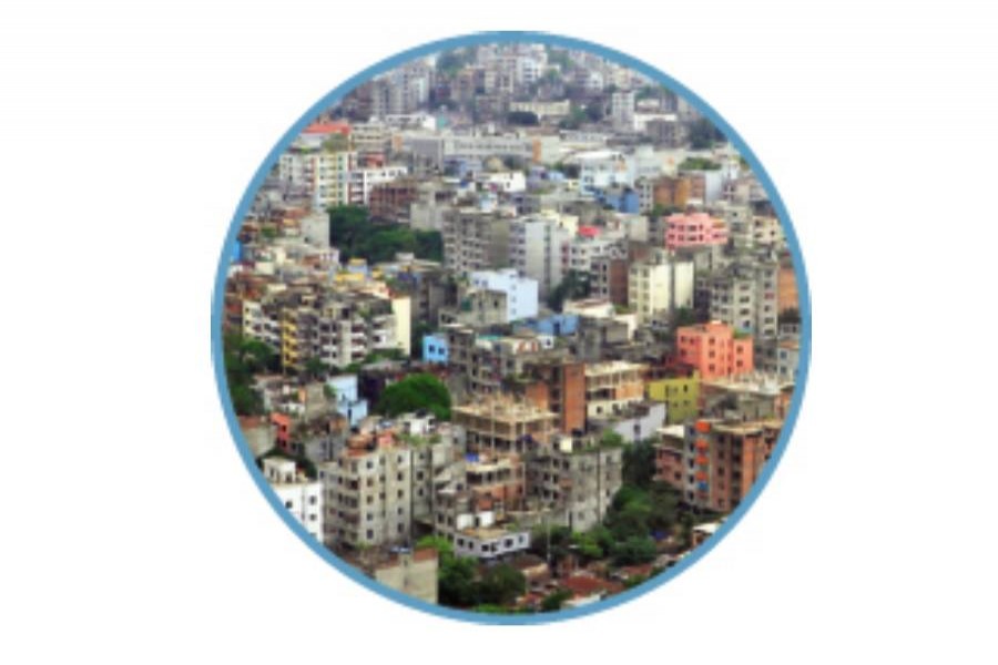
With the publication of the gazette notification for the 20-year (2016-2035) Detailed Area Plan (DAP), Dhaka city stands a chance---perhaps for the last time---to leave behind its infamous tag of a most unliveable city at the top of the global list. Although this falls short of the original DAP in range and scope as the framers had to make compromises here and there in order to propitiate powerful and privileged groups, the finished structure still has enough potential to catapult the city out of the quagmire.
The revised DAP seeks to accomplish among others: a) population density zoning, b) community services, c) environmental planning, d) demarcation of sites for housing for the lower- and lower-middle-income people, e) prioritising pedestrian and non-motorised vehicles, f) creation of a large park for each city zone or borough and g) eco-friendly management of flood plains and flood-flowing zones. To complement these, decentralised and community-based waste management with emphasis on sustainable recycling has also been proposed.
Clearly, the task involves reclamation of water bodies including rivers and canals that once acted as the arteries of the capital city. If the DAP is complied with, block-based development rather than plot-based development will be the standard practice. Again, the height of buildings will be determined by the floor area ratio. However, the most ambitious plan taken up is to bring about parity between and among population densities of different city areas.
It will be a daunting task to redistribute the population density in the most populous areas such as Lalbagh, Bangshal Sabujbagh and Gandaria where an acre of land accommodates 700-800 people ---highest in the world. Since the DAP envisions a futuristic Dhaka with an addition of 26 million inhabitants to its present total of roughly 25 million by 2035, it is sure to include areas such as Gazipur, Savar, Narayanganj, Purbachal and Jhilmil under an integrated development plan.
It looks fine as long as the agricultural lands and forest areas or green belts in some of those areas are not infringed upon in the name of housing and development. Emerging realities have prompted private initiatives in many such areas to go for housing complexes. In this context, the areas just outside the city protection dam popularly known as Beri Bandh but quite close by have seen frenzied real estate development. The areas concerned are Bosila and Keraniganj. The good thing about such development is that housing estates such as Dhaka Udyan, Chandrima Udyan have maintained the RAJUK area plan where the entire areas have been divided into uniform blocs and 25 feet roads left in between two rows of buildings. Dhaka Udyan and the adjacent areas have happily been brought under the DAP.
Now these areas served as the flood plains and the city protection dam could contain excessive flood waters. What happens now if floods of the magnitude of 1987 and 1988 come rushing on? With the construction of a walkway on the bank of Turag and Buriganga, the areas under review have increased their appeal to people who want to live a peaceful and serene life away from the chaotic city. But will their living accommodations be safe from floods of the worse categories? Such a problem is likely to confront inhabitants of quarters built in other areas on the outskirts of the city or beyond its peripheries.
Maintaining population density proportionate to the city amenities available in an area is certainly a good proposal but how can this objective be achieved is a million-dollar question. Already the utility services are under severe stress. Redistribution of the density for accommodation of 250 people on an acre of land in old Dhaka and 200 in other areas sounds rather much too optimistic when the population size will be 45 million in 2035.
Yet there is no doubt about the objective the plan sets sight on to achieve. But the problem with any such plan is to get the different government agencies and private parties together for them to act in a highly coordinated manner. In the past, a lack of such coordination has frustrated all previous plans on addressing the city's growing mess. RAJUK is ill-equipped to do the job on its own.
Recently though, cooperation between the city corporations and the local government and rural development (LGRD) ministry has produced enviable results. Reclamation of Lautola canal and other water bodies is a nice initiative. But the mayoral jurisdiction is limited to some routine programmes. City governance should be the key to bringing about a radical transformation in the system of service delivery. The RAJUK should be placed under the system of city governance with the mayors assuming enough authority to approve, monitor and supervise development projects and programmes for the city.
For a city to have space for pedestrians and non-motorised vehicles meaning bicycles ---certainly not unlimited number of rickshaws --- there is a need for developing a highly efficient public transport system. It should be as smooth, efficient and comfortable as can render private cars redundant. Even this is not enough to arrest the exodus of migration from rural to urban centres---in Bangladesh mainly Dhaka. This calls for decentralisation of administration and economic activities, like uniform distribution of population density within the city, all across the country.


