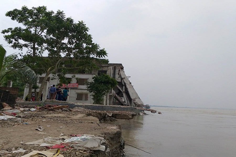
Bangladesh has lost over 66,000 hectares (256 square miles) of land—roughly the area of Chicago, one of the biggest cities in the US—to Padma River erosion since 1967.
That is according to an August 2018 report published by the NASA Earth Observatory, the arm of the US space agency that is focused on the planet we live in, UNB reported.
The extreme erosion patterns of the Padma are known to have two main causes. First, it is a natural, free-flowing river with little bank protection, other than some occasional sandbags to protect buildings. Second, the bank sits on a large sand bed that can be eroded quickly.
Scientists measure erosion on the Padma River by noting differences in its width, depth, shape, and overall appearance on satellite images.
The NASA report, "The Shape of Erosion", compares natural-color satellite images showing the changes to the shape and width of the Padma since 1988.
Each "twist and zigzag" is said to tell a different geologic story about the river. The images were acquired by NASA's Landsat satellites: the Thematic Mapper on Landsat 5, the Enhanced Thematic Mapper Plus on Landsat 7, and the Operational Land Imager on Landsat 8.
All images were acquired in January and February, during the dry season.
Over the years, researchers have observed an increase in the river's "sinuosity" and "braiding".
Sinuosity is the tendency of the river to snake back and forth in an S-shape across its plain. Rivers with high sinuosity are labeled "meandering."
Such rivers are said to evolve as the flow wears away the outer edges, widening the channel. The flow on the inner edge has less energy, allowing more sediment to be deposited there.
Sometimes meandering rivers leave scars where the water once flowed, as can be seen in the 2014 image of the Harirampur region.

The sediments can come from a variety of sources. One theory suggests that some of the sediments are remnants from a landslide triggered by an earthquake in 1950.
Researchers think the coarser material (like sand) took half a century to pass through the river.
Over the past three decades, the river has changed from a relatively narrow, straight line to meandering to braided and, most recently, back to straight.
In the image sequence, the most noticeable change occurs upstream near the Harirampur upazila region, which experienced the most erosion.
A large flood rose over these banks in 1998, exacerbated by the opening of the Farakka barrage (dam) in India, which released more water into Bangladesh, according to the NASA report.
Further downstream, meandering bends eroded the land near Char Janajat. The river's curves became most extreme from 1995-1996.
The curve started to develop in 1992, began to decline in 2002, and has since disappeared.
The report also touches on the construction of the Padma Bridge, and how it may be affected by river erosion.
"There are some concerns that erosion could threaten the construction of the bridge, although some researchers believe it could actually stabilize the land and reduce erosion once it is finished," it says.
In recent years, Padma's erosion rates, sinuosity, and braiding have actually decreased.
Erosion is said to have slowed as the meandering bends disappeared due to sedimentation and something called "chute cutoff"-when the water flows across the land instead of following the curve of the river.
"But that does not mean the area is free from erosion," the report concludes.


